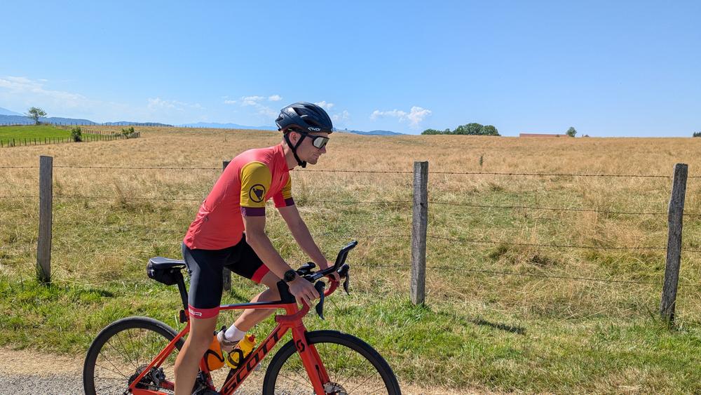
Between Balcons and Vals du Dauphiné, ride on roads used during the 2025/2026 French cycling championships and enjoy the many panoramas that will unfold before you.
Start / return (parking):
- La Tour du Pin station.
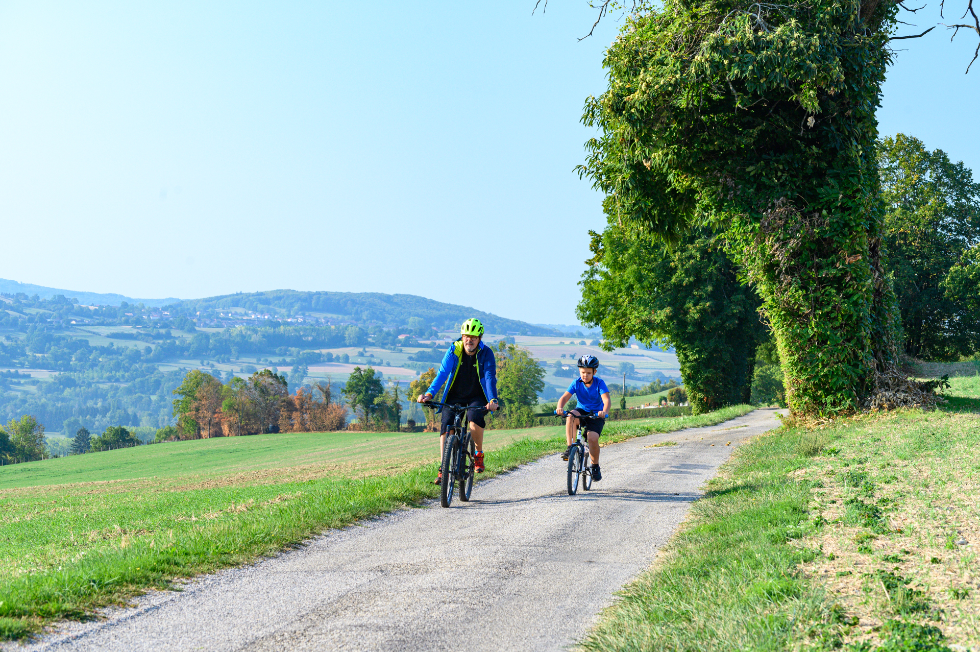
Take the train to La Tour du Pin and discover the heights of the Vals du Dauphiné.
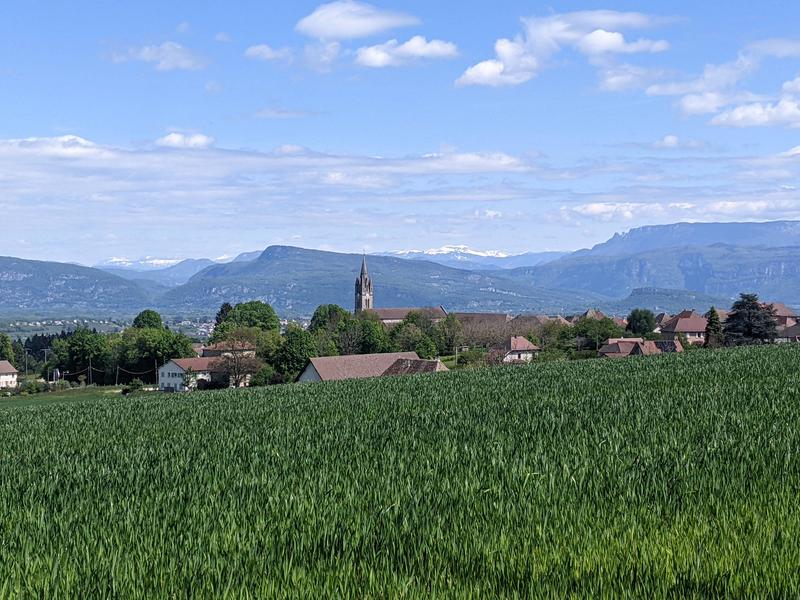
On this hilly route, you'll begin with the climb of the Hauts de St-Roch, an iconic climb of the 2025/2026 French Cycling Championships (1.7 km at an average gradient of 4.4%). Then, between kilometers 4 and 14, the route will be flat to downhill, leading to Montcarra. A 5 km steady climb (120m total elevation gain) will take you to a small, flat road at kilometer 20 of this ride. Here, you can admire the Tournette and Mont Blanc, two iconic mountains, in the distance.
The scenic views will continue for 15 km on a mostly downhill profile until you reach Aoste, arriving at the lowest point of this route and of the Vals du Dauphiné, at an altitude of 220m.
The challenges return towards the end of the route with a descent of approximately 1 km at a 10% gradient, which must be tackled with care all the way to the hamlet of Passeron. A stop sign is located at the bottom of the descent before turning right to immediately begin the formidable climb of Béjui, 1 km at 8.4% with sections exceeding 13%, a true test of strength in French Championship races. Once over the top, the return to La Tour du Pin is via a long descent on the D16, a relatively easy descent that will help you gain speed. It should therefore be taken with caution!
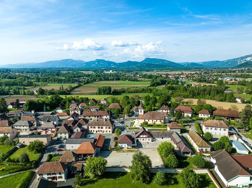
In addition to the numerous viewpoints overlooking the mountain ranges (Épine, Chartreuse, Bugey, Mont Blanc, etc.), this route offers the opportunity to visit one of our museums, such as the Gallo-Roman Museum of Aosta or the Dauphiné Weavers' Museum in La Bâtie-Montgascon.
Distance : 56.2km
Difference in altitude : 770m
Positive difference in altitude : 770m
Negative difference in altitude : 770m
Average time : 195 Min
Openings
All year round daily.
See opening hours of Pont-de-Beauvoisin tourist information center.
Prices
Free access. Bike map available for free at tourist information center and on Vals du Dauphiné tourism website.
Equipements
- Picnic area
- Car park
- Free car park
- Bicycle parking
Services
- Pets welcome
Average length of visit : 195 min