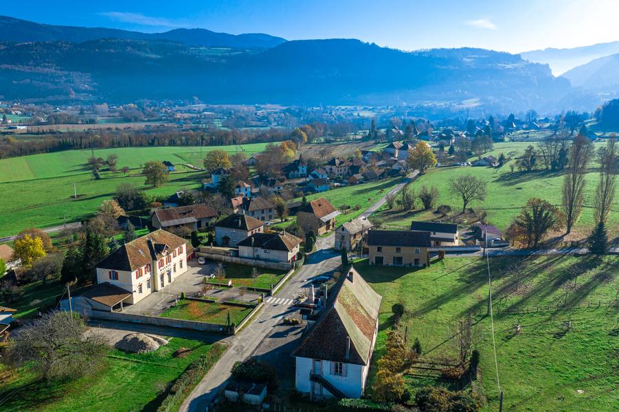
Ride in the Vaulserre, between panoramas and beautiful buildings dauphinoises
Start / return (parking):
- Parking of the station of Pont de Beauvoisin.
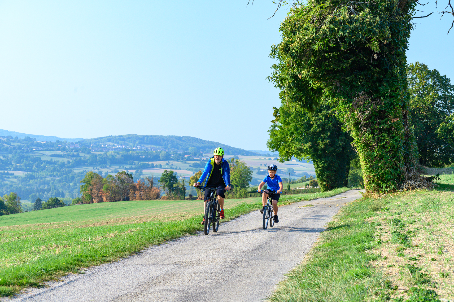
From the station, take the D82H for about 500m. Once you have turned left on the Chemin des Carmes, you will arrive on the uncrowded roads of the Vaulserre. Throughout your journey, you can look up and admire the surrounding massifs (Bugey, Epine, Chartreuse ...) as well as the typical Dauphinoise architecture of our territory.
After 5.5 km, do not hesitate to go down on your left to see the orientation table in Saint Albin de Vaulserre, positioned next to the church.
Arriving in the town of Pressins, after 15 km, once past the town hall and the school, you can stop on your left at the bridge to take a short break on the picnic table. A bucolic setting will then be offered to you, with a bread oven and a small stream to refresh you.
Spoken languages


Distance : 21.3km
Difference in altitude : 280m
Positive difference in altitude : 280m
Negative difference in altitude : 280m
Average time : 105 Min
Openings
All year round.
See opening hours of Pont-de-Beauvoisin tourist information center.
Prices
Free access. Bike map available for free at tourist office Les Vals du Dauphiné.
Equipements
- Bicycle parking
- Free car park
- Car park
- Picnic area
Average length of visit : 105 min