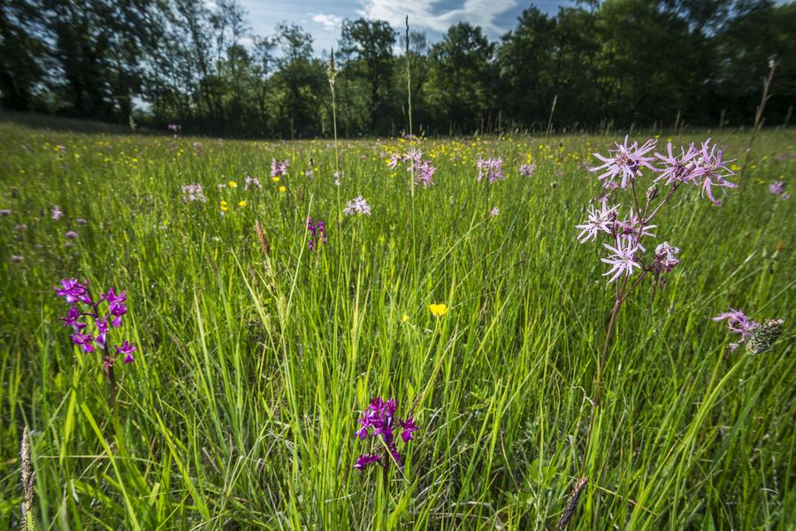
An easy loop to discover the wealth of biological species (fauna, flora) in the river, pond and wet meadows.
ROUTE :
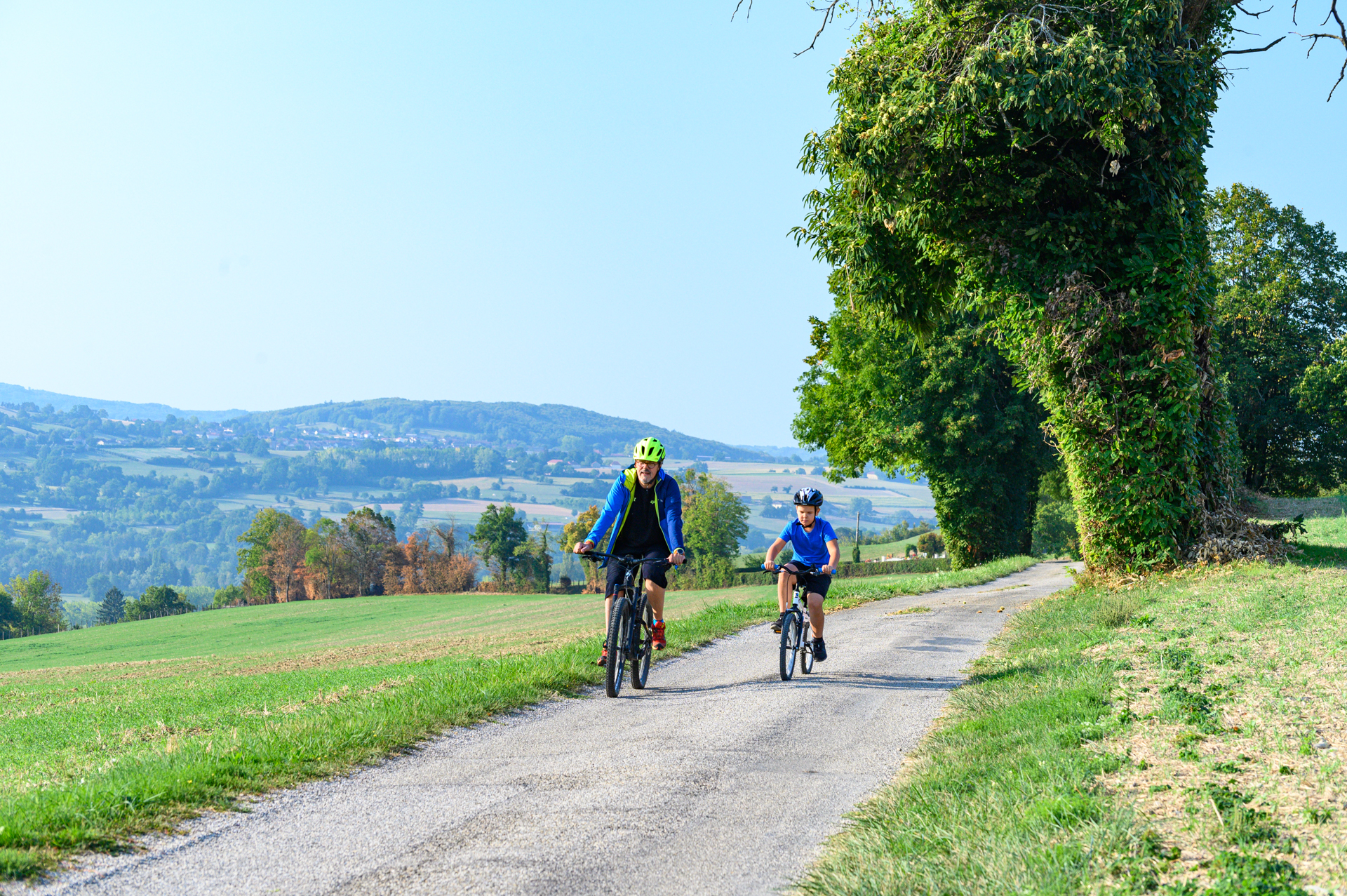
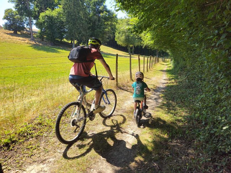
Via a small country road in the forest and then a wide track with more open countryside, you reach the marshes where you follow the river, the Bourbre, on your left. The track is often shaded at this point. The only difficulty is that halfway along the route, there is a 200m climb just before the Ayes farm. The path is quite stony at this point.
At ‘Château de Donat’, take the path on the right and turn left to see the beautiful brick tower, the last remaining trace of the house built around 1870.
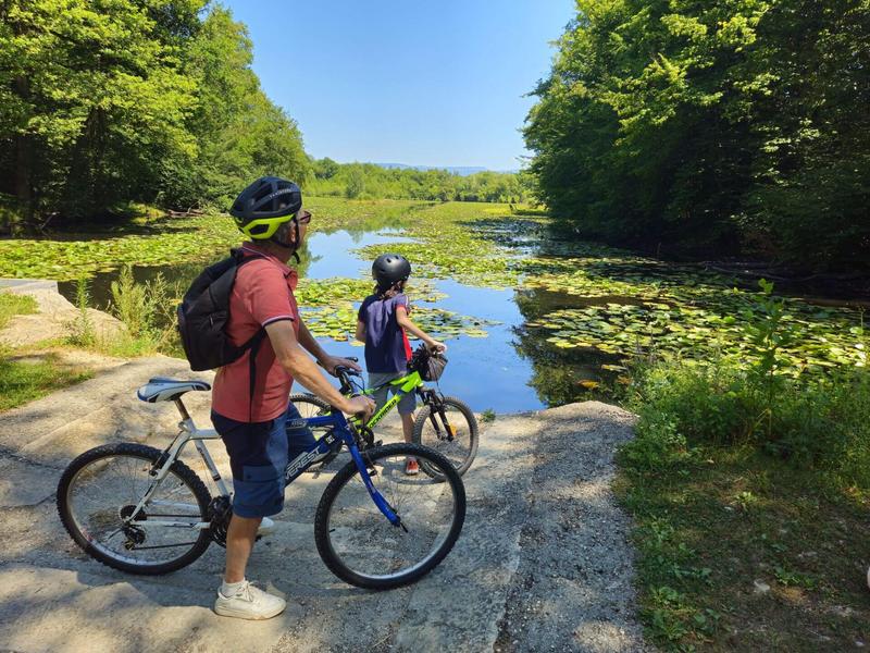
Continue as far as the Malseroud pond, classified as a Sensitive Natural Area. This wetland area is ideal for observing birds (coots, grebes, herons), dragonflies, frogs and more. You can walk around the pond. An educational booklet is available from the Tourist Office and at www.tourisme-valsdududauphine.fr. Dogs must be kept on a lead around the pond to preserve the tranquillity of the species.
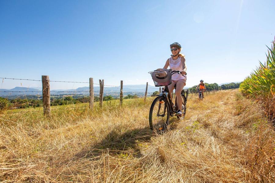
On the way back, the paths and small country roads wind through cultivated fields and small copses to take you back to ‘Les Bruniaux’. Then cross the village to return to the start.
Be careful, this trail is very pleasant in summer, but the paths through the marshes are often muddy in the wet season (November - April).
SIGNS AND MARKINGS :
Follow the yellow markings and signs:
FITILIEU > Château de Donat > les Bruniaux > FITILIEU
Marked itinerary
Distance : 8.8km
Difference in altitude : 60m
Positive difference in altitude : 60m
Negative difference in altitude : 60m
Average time : 45 Min
Openings
All year round daily.
Prices
Free access.
Equipements
- Car park
Average length of visit : 45 min
Mountain bike trail - Malseroud marsh and pond
63 Rue du 11 Novembre 1918
38490 Les Abrets en Dauphiné
