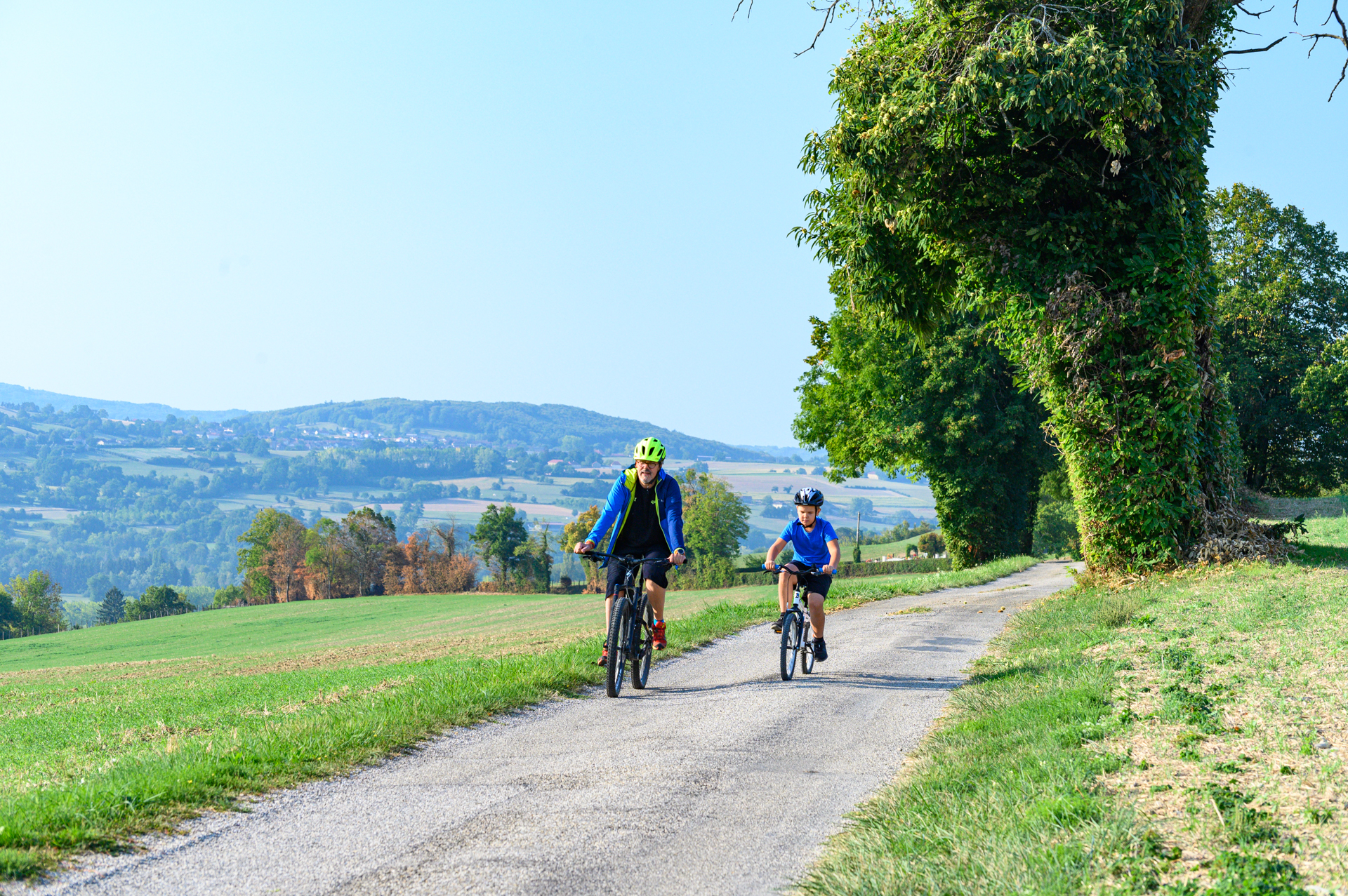
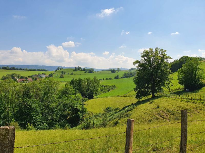
This path will take you on the higher parts of the Guiers Valley. Breathtaking views on the Val d’Ainan, the Epine and the Chartreuse, with some stops on the local architecture with houses with adobe walls. Ponds and forests to refresh you.
Departure / arrival / parking : Pont de Beauvoisin train station - Lyon / Chambéry line
ROUTE:
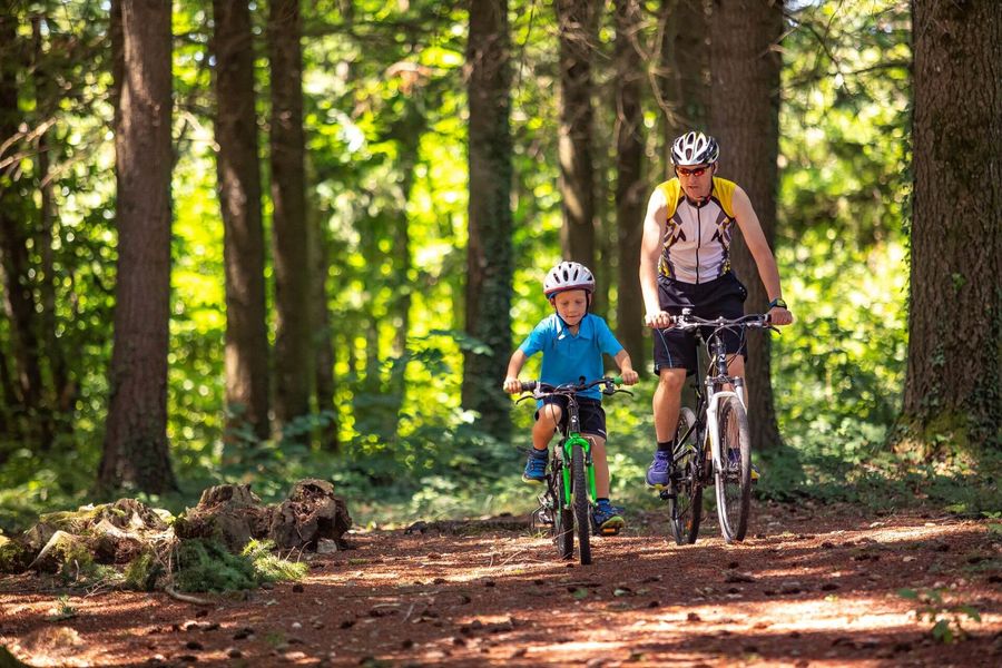
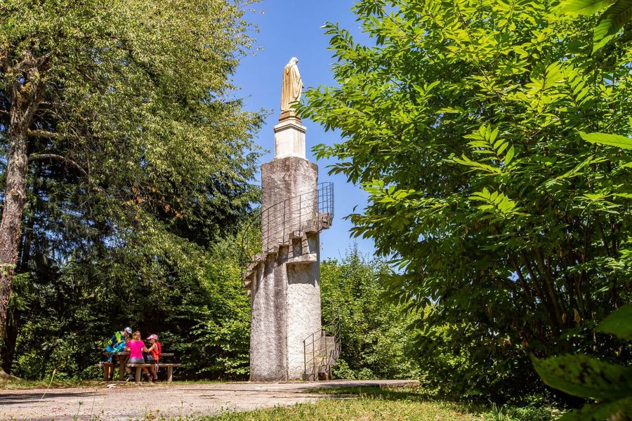
After a few hundred metres to leave Pont-de-Beauvoisin, you'll soon find yourself back on small country roads and quiet lanes. After 3km, you pass the Reculfort lake, then the Combe lake 3km further on. After the Antiquaire post, the route climbs steeply (+130m). You can then take a break at the Sacré-Coeur (large stone statue). Up here, the Valdaine hills offer pretty landscapes surrounded by small woods and meadows where cows graze. The descent is via a woodland path, before returning to small country roads and dirt tracks to reach St-Jean d'Avelanne and Pont-de-Beauvoisin.
Possibility to do the mountain bike orientation course of St-Jean d'Avelanne (information board in front of the town hall).
MARKINGS AND SIGNS :
Follow the yellow markings and the following signposts:
Le Grabier > Le Menou > Les Forêts > L'antiquaire > Sacré-Coeur > La Sauge > Crête de Sauge > Le Bapt > Chemin du Melet > St Jean-d'Avelanne > Le Menou > Le Grabier > Retour Pont-de-Beauvoisin - la gare
Marked itinerary
Distance : 27.6km
Difference in altitude : 490m
Positive difference in altitude : 490m
Negative difference in altitude : 490m
Average time : 165 Min
Openings
All year round daily.
Subject to favorable weather.
Prices
Free access.
Equipements
- Car park
Average length of visit : 165 min
Mountain Bike Loop : The Three Saints
Parking gare SNCF
38480 Pont-de-Beauvoisin


