Enjoy the coolness of the Tire-Gerbe forest in summer, or continue on to the Gole pond.
ROUTE
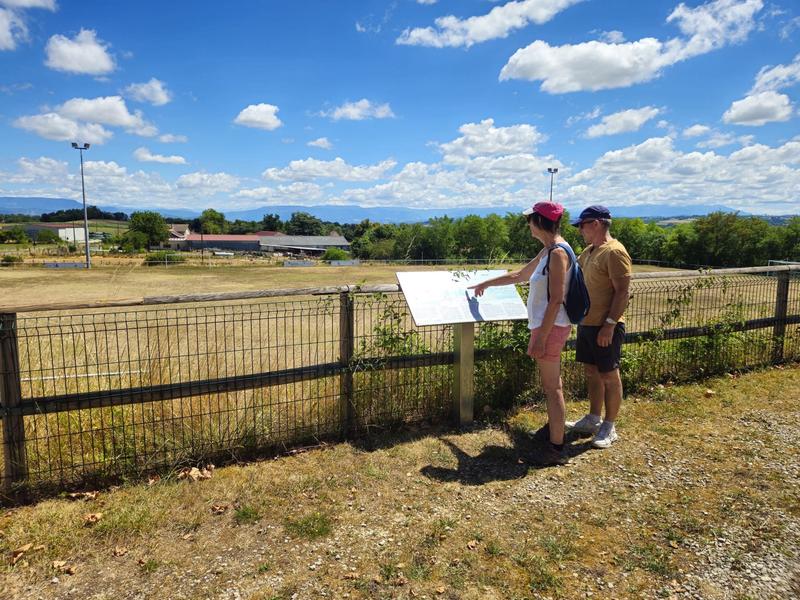
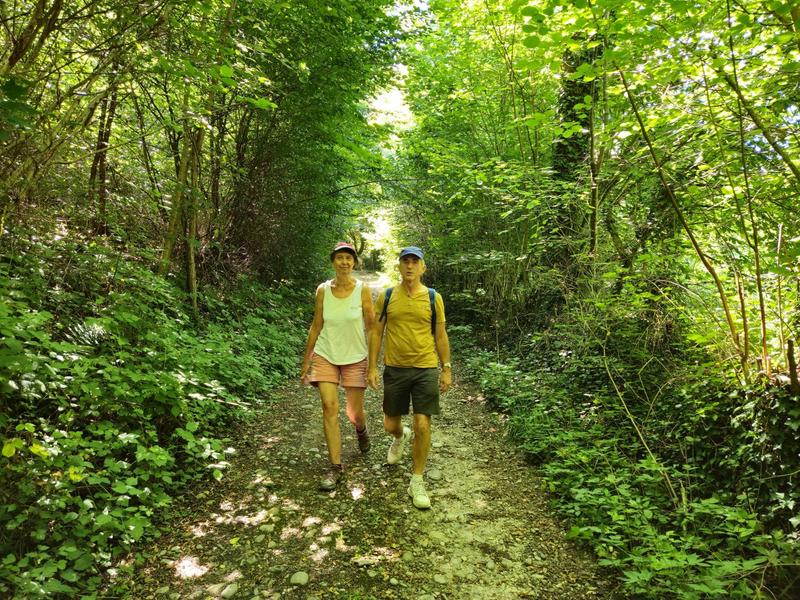
The starting point offers unobstructed view of the Vercors and Chartreuse mountains. An orientation table located between the church and the soccer stadium details the landscape. Take rue de Ravette opposite the town hall and follow the path to the hamlet of La Mitagnière. You then reach the Etang de l'Enfer before entering the Tire-Gerbe forest.
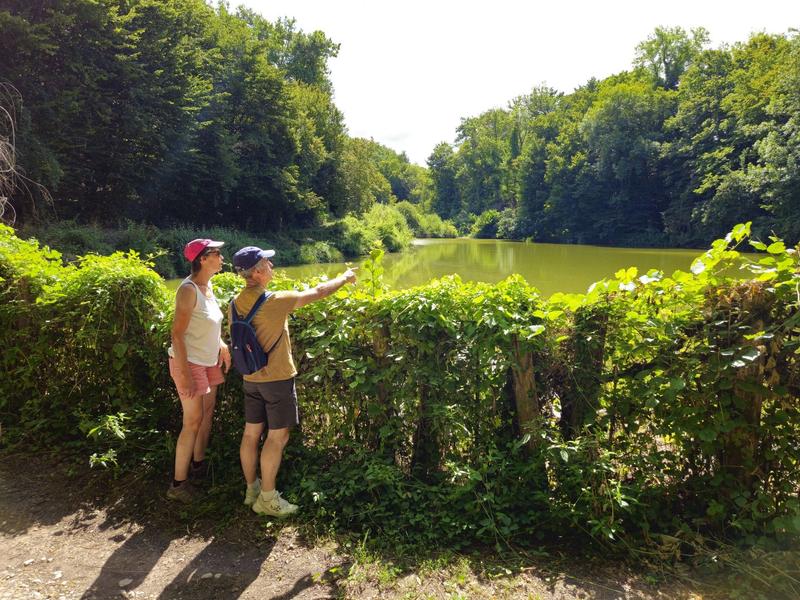
The forest path leads down to l'Enfer. At this point, you can extend the hike with a 1km round trip to discover the Etang de Gole, a sensitive natural area. Take a moment to observe the agile frog, dragonflies and great crested grebe.
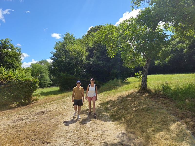
The return journey to Rochetoirin takes you along a pretty path in a bucolic setting, sometimes wooded, sometimes more open, then along the Reculfort road back to the starting point. Stay vigilant, however, as you follow the D54 for 150m shortly after l'Enfer.
WAYMARKING AND SIGNPOSTING
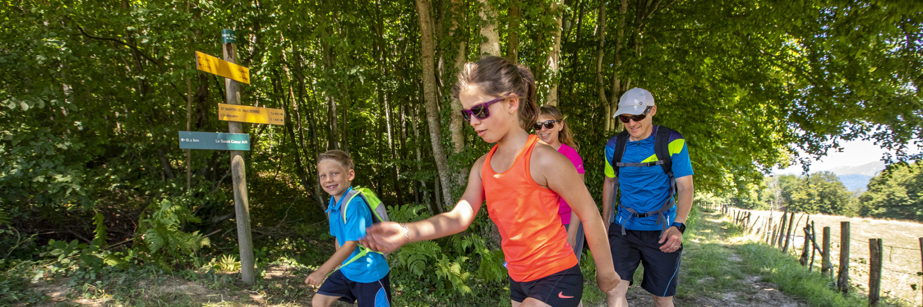
Follow yellow markings and the following signposts:
Tire-Gerbe > Le Grand Poste > L'Enfer > Possibility of a return trip to Etang de Gole > Bonnard > Le Gayet > Les Tournas > Return to ROCHETOIRIN
Marked itinerary
Distance : 8.6km
Difference in altitude : 170m
Positive difference in altitude : 170m
Negative difference in altitude : 170m
Average time : 135 Min
Openings
All year round daily.
Prices
Free access.
Equipements
- Free car park
- Car park
- Public WC
Services
- Pets welcome
Average length of visit : 135 min