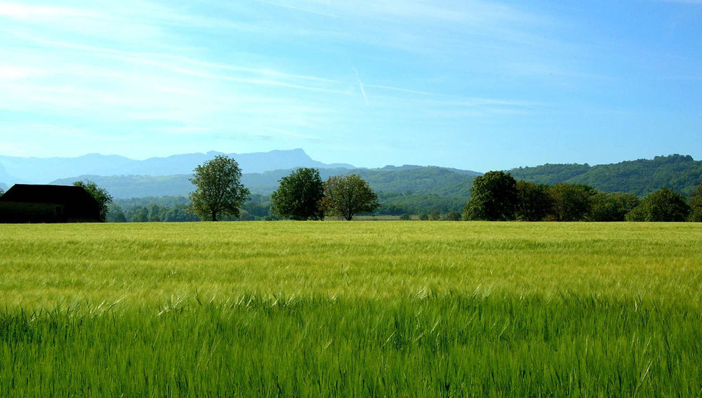
This circuit introduces you to the small plateau of Verou, with a superb view and an atmosphere still impregnated with the memory of the orchards and vineyards that flourished a few decades ago.
ROUTE
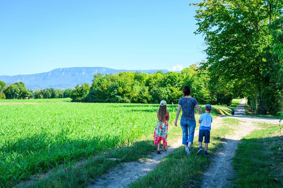
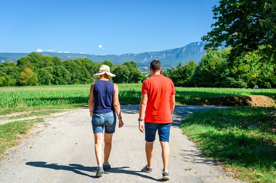
You start by taking a wide path along the edge of the forest. Shortly after the ‘Verou’ signpost, the plateau offers panoramic views of the Bugey, the Dent du Chat, the Epine and the Chartreuse. A succession of small roads and paths take you to a charming hamlet called La Bruyère. Walk along the wash-house on your right and then climb back up to the heights of La Bruyère.
Once you reach the ‘La Bruyère’ signpost, you can make a 300-metre round trip to see some beautiful, recently restored Dauphiné adobe buildings (signposted ‘Romagnieu’).
Then head into the forest of the Côtes de Bièvre, from which you will emerge through a curious tunnel under the old railway line. The walk ends on small country roads and lanes surrounded by farmland.
WAYMARKING AND SIGNPOSTING
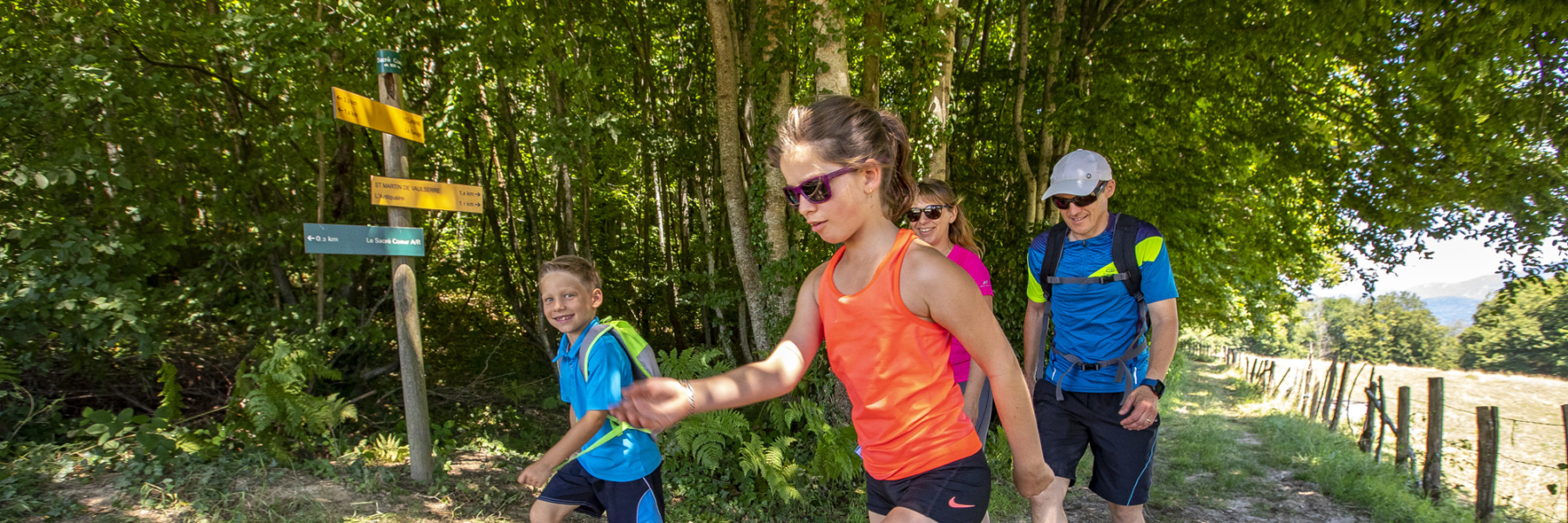
Follow yellow markings and the following crossroads:
La Loue > Verou > Le Coulou > La Bruyère > Côte de Bièvre > Les Combes > La Loue
The route also follows the GR65 (marked in red and white) from the Loue to La Bruyère.
Marked itinerary
Distance : 8.1km
Difference in altitude : 98m
Positive difference in altitude : 98m
Average time : 135 Min
Openings
All year round daily.
Prices
Free access.
Services
- Pets welcome
Average length of visit : 135 min
Verou et Massotte
Chemin de Veroud
(se garer au niveau des retenues d'eau - à 100m du panneau de signalétique La Loue)
38490 Les Abrets en Dauphiné