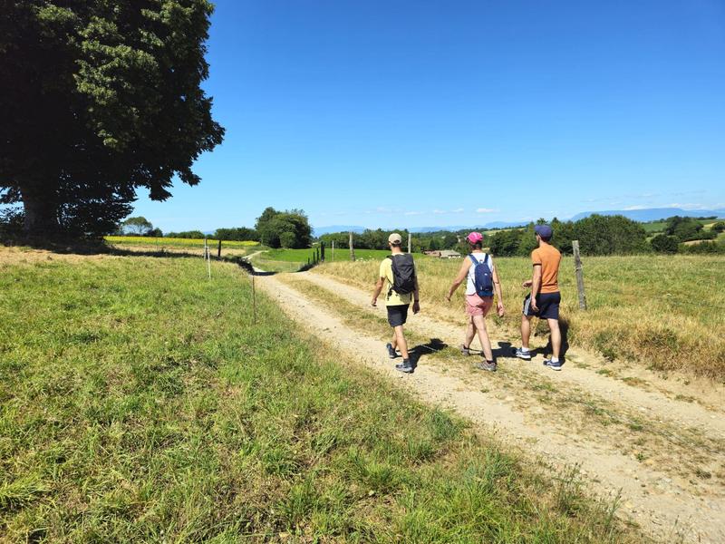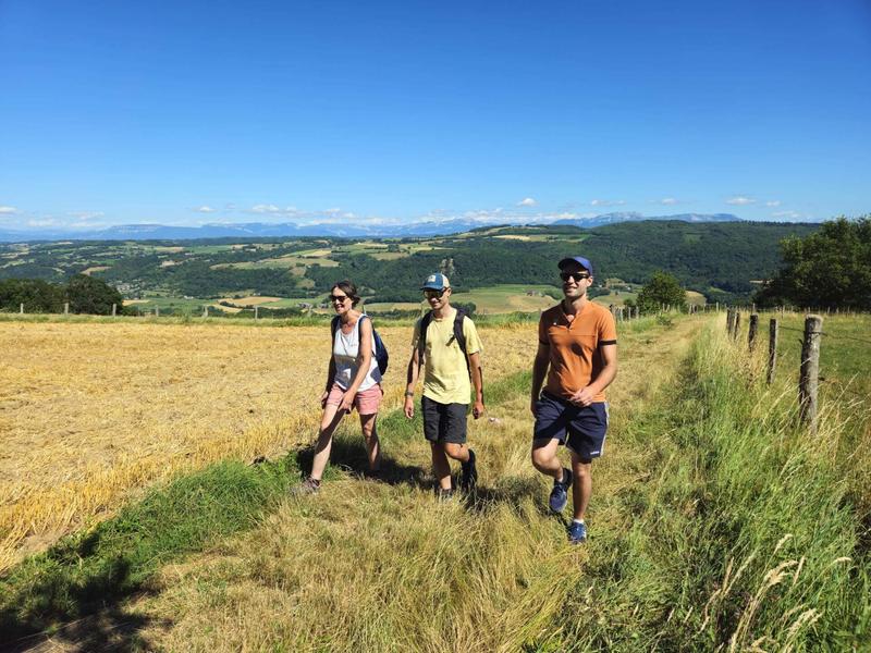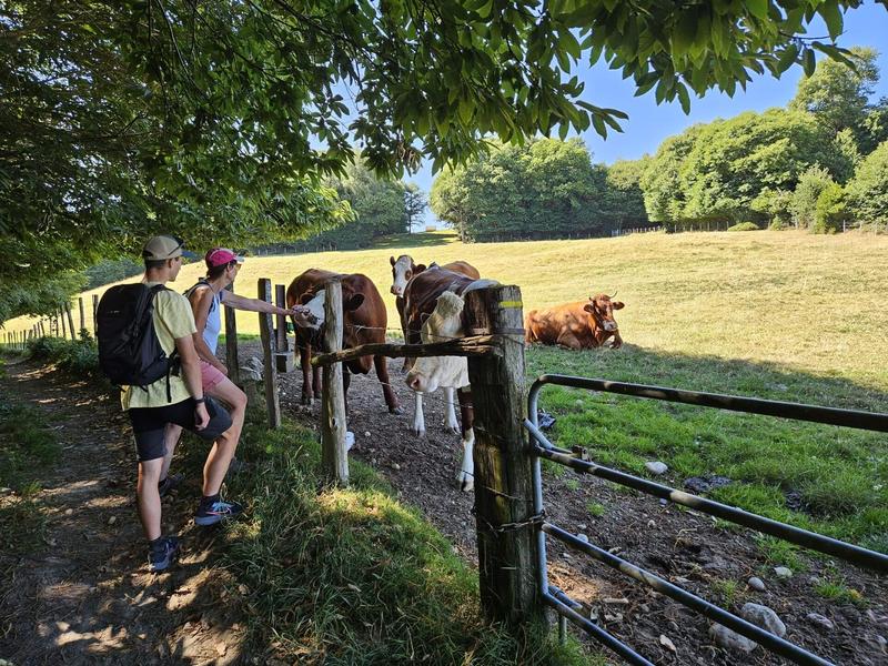
Explore the many hamlets that line Combe Lambert, winding your way through forests and meadows.
From Montrevel, walk up alongside the church and onto the gravel path. Go past the farm buildings and turn right after the meadows onto the path. It joins a track that you need to follow uphill. Just before the forest, turn right onto the track leading to ‘La Touqueta’.
Continue straight ahead until you reach the hamlet. Cross the hamlet to the left and join the Chemin de Combe Lambert. Continue uphill until ‘Vaux’.
Take the steep road section on the left, which soon gives way to an undulating track. Cross between the houses to reach ‘Les Serves’, then continue straight ahead on the track. At the junction on the way down, turn right on a slight uphill portion. The path leaves the meadows and continues through the forest to reach ‘Bois du Seigneur’.
Turn left, following the path downhill to ‘Les Taillis’. Continue right along the track past a pond to the Bois Vert. From here, turn left and stay on the road at the next junction. Come to a right-angle turn where there is an old tree and continue straight ahead on the track. This joins ‘La Touqueta’ further on. The return journey takes the same route.
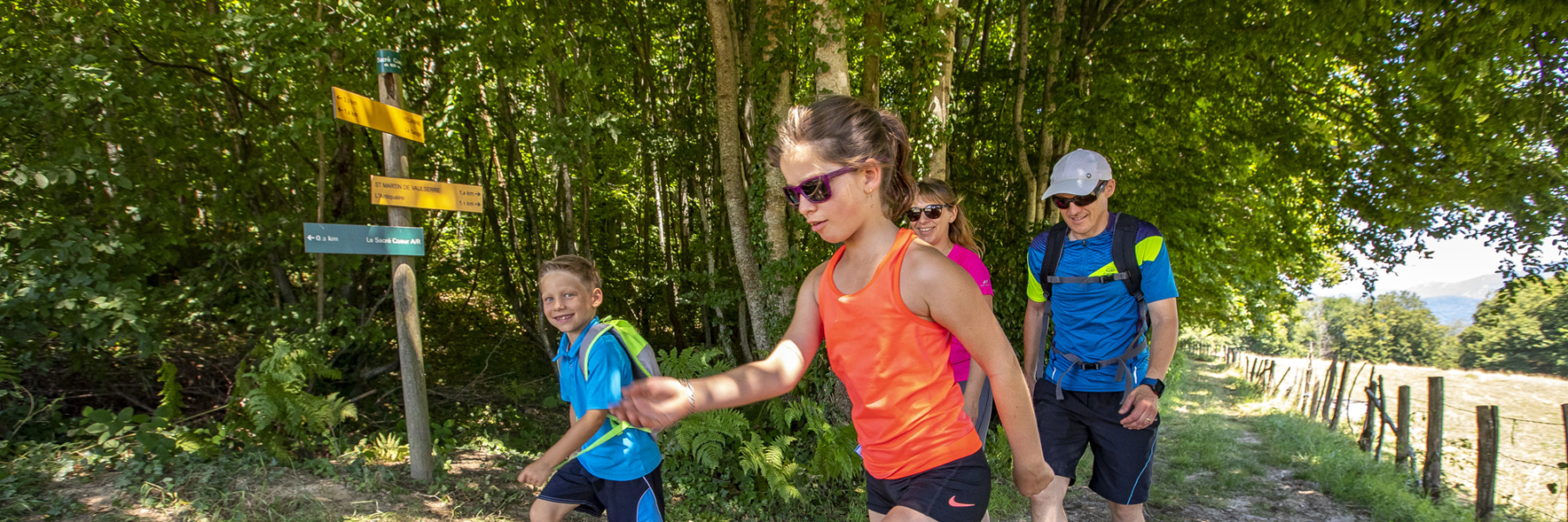
Throughout the route, follow the yellow markings and the following junctions: MONTREVEL > La Touqueta > Chemin de combe Lambert > Vaux > Bois du Seigneur > Taillis > Bois vert > La Touqueta > MONTREVEL
Spoken languages


Marked itinerary
Distance : 12km
Difference in altitude : 295m
Positive difference in altitude : 295m
Negative difference in altitude : 293m
Average time : 210 Min
Openings
All year round daily.
Prices
Free access.
Equipements
- Public WC
- Car park
Average length of visit : 210 min