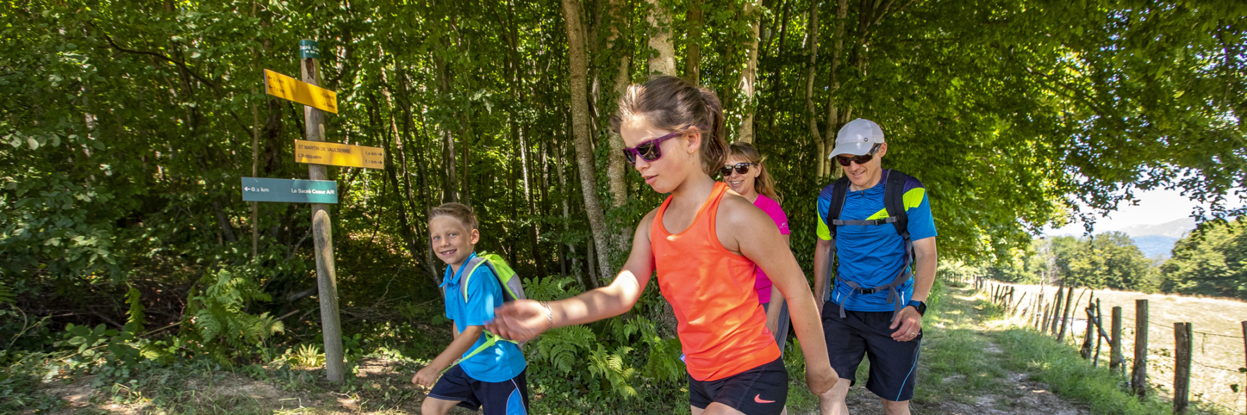
3 different tracks (from 5 to 16 km) to follow by foot or riding your bike discovering the emblematic elements of the 3 villages named after Saints. Follow the topographic map to find the tags symbolized with the red circles.
The aim of orienteering is to find your bearings using
natural and artificial elements (isolated tree, rock, bench, tree...)
to find the markers symbolized on the map by a red circle. For each marker found, punch your map using the red clip embedded in the wooden post.
Maps available from the Tourist Office in Pont-de-Beauvoisin or La Tour-du-Pin. Or download here.
Green route: 5.5km, 45min moutain bike / 1h30 walking, +80m
Blue route: 13km, 1h30 mountain bike, +170m
Red route: 16km, 2h15, +310m
Two other routes in Val de Virieu (pedestrian) or La Tour-du-Pin (urban).
Marked itinerary
Average time : 60 Min
Openings
All year round.
Prices
Free of charge. Free maps available in your tourist offices during opening hours.
Equipements
- Parking
Average length of visit : 60 min
Orienteering tracks : The three Saints
Départ : Mairie de Saint Jean d'Avelanne
Route de Velanne - D28C
38480 Saint-Jean-d'Avelanne