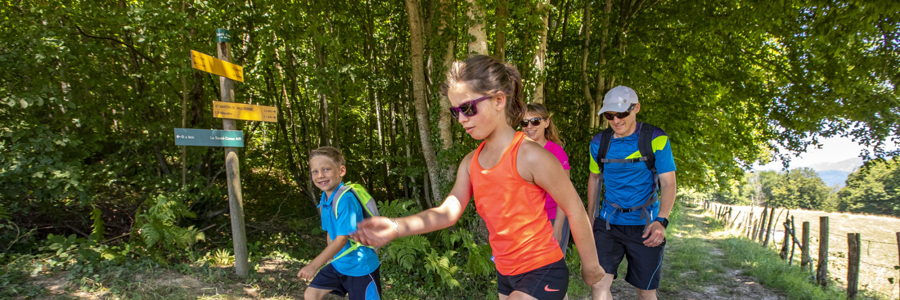
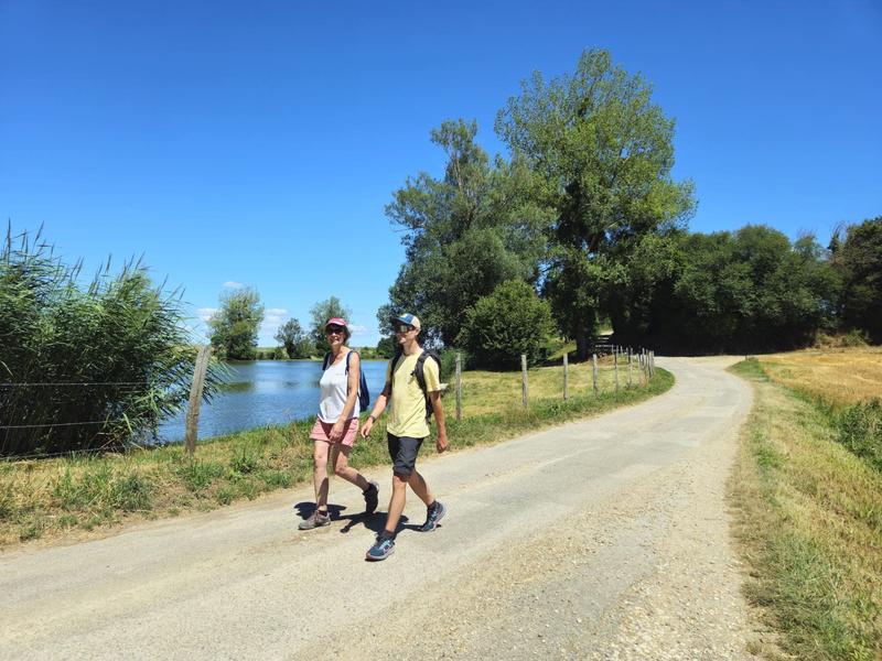
With this hike you will explore the Vallin forest, where are located the Rompu and Ravoux ponds, a limestone stream and the other one ferruginous. The hike ends with a beautiful panoramic view.
ROUTE
From the salle des fêtes car park, take in the panoramic view described by the orientation table (view of the Chartreuse and Epine massifs, the Mont du Chat and Bugey - Mont-Blanc in the background on a clear day).
Follow the signposts for the ‘Forêt de Vallin’ through the village of Torchefelon. At the ‘Saint-Joseph’ crossroads, the trail makes a pleasant loop through the Forêt de Vallin, passing the Etang de Vallin and the pond.
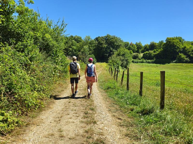
Complete the loop and return to Saint-Joseph. Pass the ‘Forêt de Vallin’ car park and then the ‘Les Quatres Sapins’ signpost. Then head towards ‘Dessus Mirieu’, pass the Ravoux pond and follow the path up the Gadizieu stream. Continue on past ‘Dessus-Mirieu’ and join the D520 at the ‘Le Rapoux’ signpost. Walk carefully along it on the left for 50m, then find the Brumière path on your left. It leads to the ‘le Bessay’ signpost, then continue as far as ‘Marmonière’ and cross Torchefelon to return to the starting point.
WAYMARKING AND SIGNPOSTING
Follow the yellow markings and the following signposts:
TORCHEFELON > Torchefelon-Mairie > Marmonière > Saint-Joseph > La Thébaïde > Etang de Vallin > La Thébaïde > Saint-Joseph > Les Quatre Sapins > Dessus Mirieu > Le Rapoux > Le Bessay > Marmonière > Torchefelon-Mairie > TORCHEFELON
Marked itinerary
Distance : 13.4km
Difference in altitude : 230m
Positive difference in altitude : 230m
Negative difference in altitude : 230m
Average time : 225 Min
Openings
All year round daily.
Subject to favorable weather.
Prices
Free access.
Equipements
- Car park
Average length of visit : 225 min
Around Torchefelon
Parking de la salle des fêtes
45 chemin de Marmonière
38690 Torchefelon