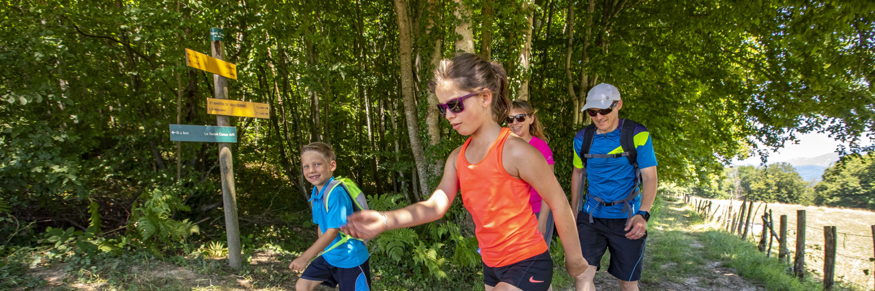
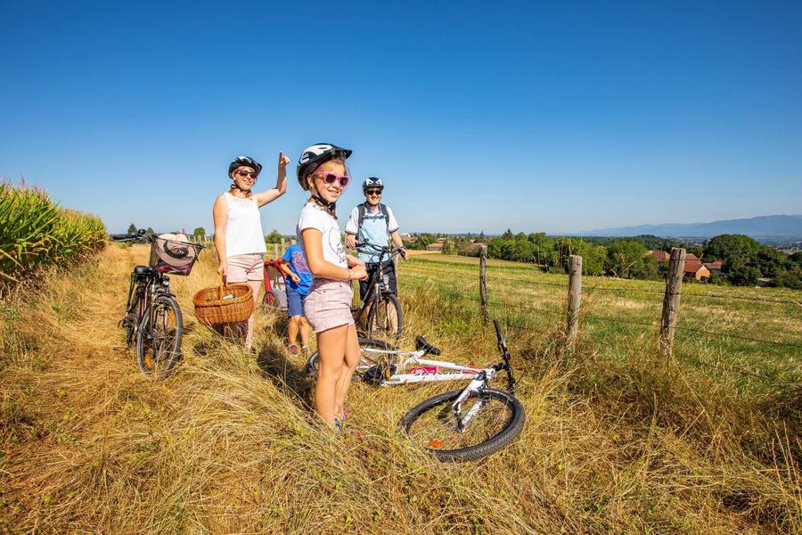
An another way to discover and to have fun with mountain biking or walking: orienteering.
The goal of orienteering is to find your way using
natural and artificial elements (isolated tree, rock, bench, tree...) to find the markers symbolized on the map by a red circle. At each marker found, perforate your map with the red clip embedded in the wooden pole.
Marked itinerary
Distance : 5.5km
Difference in altitude : 80m
Positive difference in altitude : 80m
Average time : 45 Min
Hiking map : Free pick-up card in one of the 2 tourist offices of the territory: Pont-de-Beauvoisin or La Tour-du-Pin.
Openings
All year round.
Prices
Free access.
Average length of visit : 45 min
Hiking, trail and mountain biking orienteering - green trail
Route de Velanne
38480 Saint-Jean-d'Avelanne