A challenging route through the countryside with the most beautiful views of the Vals du Dauphiné.
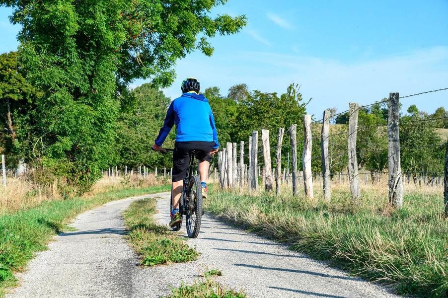
This gravel circuit is an ideal mix between road cycling and mountain biking. It is 60% road and 40% trail.
The start is at the church car park or directly at the town hall car park (50 metres away).
ITINERARY
After leaving the village of Montagnieu, the route mainly follows wide paths offering panoramic views (Chartreuse, Belledonne, Mont du Chat, Mont Blanc, etc.) until the 10th kilometre of the route. The medieval castle of Virieu stands opposite you on the other side of the valley.
You then descend into the Hien valley towards Montrevel, where you pass the Artézieux chapel on your left. Hidden in the woods, it cannot be seen from the road, but you only need to stray 100 metres to find it.
After crossing the motorway bridge, you quickly take a path through the valley surrounded by grassy meadows. A small road then leads you to the small hilltop village of Belmont. Hilltop because a steep climb awaits you! With its old houses, such as the fortified house on the right as you climb, Belmont offers a picturesque rural landscape.
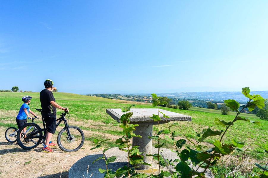
On leaving the village, you then climb into the woods to follow sections of wide path. You are now at the highest point of the route. At kilometre 21, an orientation table gives you a detailed view of the Bugey on the left and the Vercors on the right. Mont du Chat, Mont Blanc, the Bauges massif, the Chartreuse massif, the peaks of Belledonne and the Ecrins. The area is very peaceful.
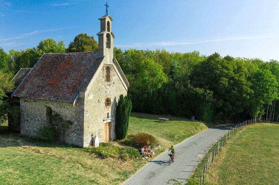
By road, you will then reach St-Paul Chapel, a pleasant spot to take a break. Then, you will head back up towards Torchefelon, with views of Mont Blanc stretching for several kilometres. A new orientation table awaits you in the car park of the Torchefelon village hall.
Finally, the return to Montagnieu is mainly along small country roads, except for a wide track at the very end of the route.
MARKINGS AND SIGNS
The circuit is not fully marked, so we advise you to plan your trip in advance or follow the route using geolocation.
However, for the first 9 kilometres, after reaching Montagnieu Town Hall, you can follow the yellow markings and the following crossroads:
Chemin de Feydel > Mollard des Mottes > Cote 568 > Les Hauts d’Envelump > Beauregard > Le Luteau > Chardenouse > Radio Balise > Châtaignier de Bourrique
Distance : 32.3km
Difference in altitude : 560m
Positive difference in altitude : 560m
Negative difference in altitude : 560m
Average time : 180 Min
Openings
All year round daily.
Prices
Free access.
Equipements
- Public WC
- Car park
Services
- Pets welcome
Average length of visit : 180 min
Gravel circuit - The challenge of horizons
Parking de l'église
38110 Montagnieu