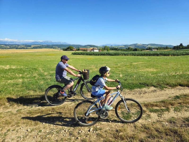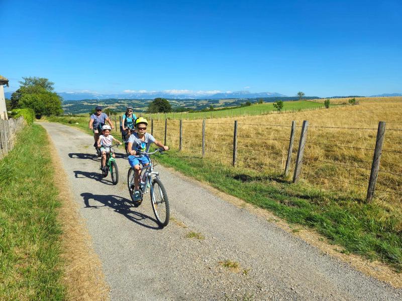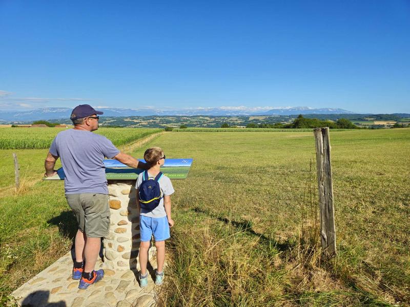
A loop in the countryside with beautiful views of the surrounding mountains.
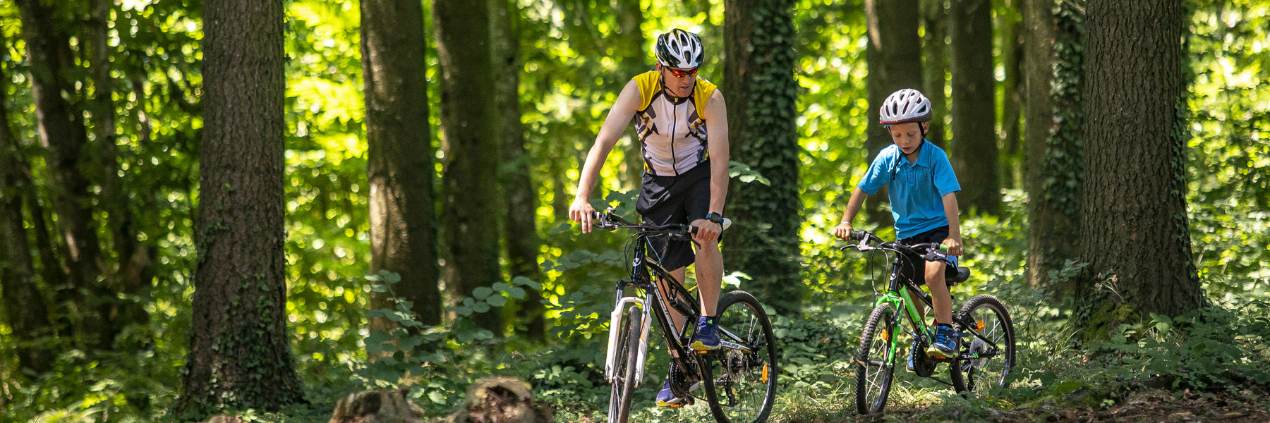
This gravel circuit is an ideal mix between road cycling and mountain biking. It is 60% road and 40% trail.
The start is at the church car park or directly at the town hall car park (50 metres away).
ITINERARY
After leaving the village of Montagnieu, the route mainly follows wide paths offering panoramic views (Chartreuse, Belledonne, Mont du Chat, Mont Blanc, etc.) until the 10th kilometre of the route. The medieval castle of Virieu faces you on the opposite slope.
You then descend into the Hien valley towards Montrevel, where you pass the Artézieux chapel on your left. Hidden in the woods, it cannot be seen from the road, but you only need to stray 100 metres to find it.
After crossing the motorway bridge, a path through the valley surrounded by grassy meadows leads you to Biol. Take a look at the 15th-century fortified house on the right at the start of the path.
On leaving the village of Blassin, right at the junction where you turn right, you may be lucky enough to spot some storks. They often nest at the top of electricity poles. The return to Montagnieu is mainly along small country roads, except for a wide track at the very end of the route.
MARKINGS AND SIGNS
The circuit is not fully marked, so we advise you to plan your trip in advance or follow the route using geolocation.
However, for the first 9 kilometres, after reaching Montagnieu Town Hall, you can follow the yellow markings and the following crossroads:
Chemin de Feydel > Mollard des Mottes > Cote 568 > Les Hauts d’Envelump > Beauregard > Le Luteau > Chardenouse > Radio Balise > Châtaignier de Bourrique
Distance : 23km
Difference in altitude : 320m
Positive difference in altitude : 320m
Negative difference in altitude : 320m
Average time : 120 Min
Openings
All year round daily.
Prices
Free access.
Equipements
- Public WC
- Car park
Services
- Pets welcome
Average length of visit : 120 min