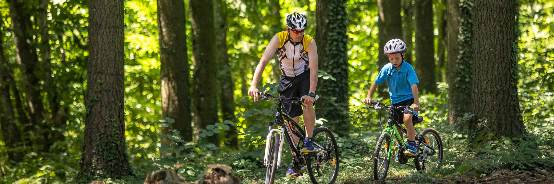
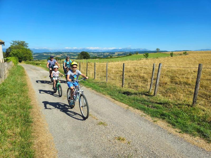
An easy route with plenty of views of the Chartreuse, the Savoyard foreland and Mont Blanc in the background.
Start from the church car park or directly from the town hall car park (50m away). This route is a must for cyclists looking for a panoramic ride with some of the best views in the Vals du Dauphiné and very little change in altitude.
ROUTE
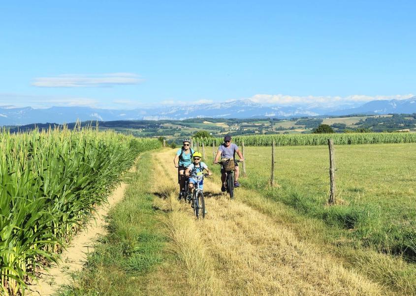
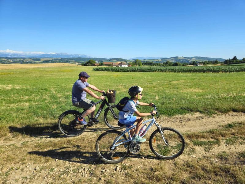
The route quickly takes you out of the village. After crossing the D17, you take dirt tracks that you will almost never leave. As far as Mollard des Mottes, the path climbs slightly and offers beautiful views of meadows where cows graze, interspersed with groves.
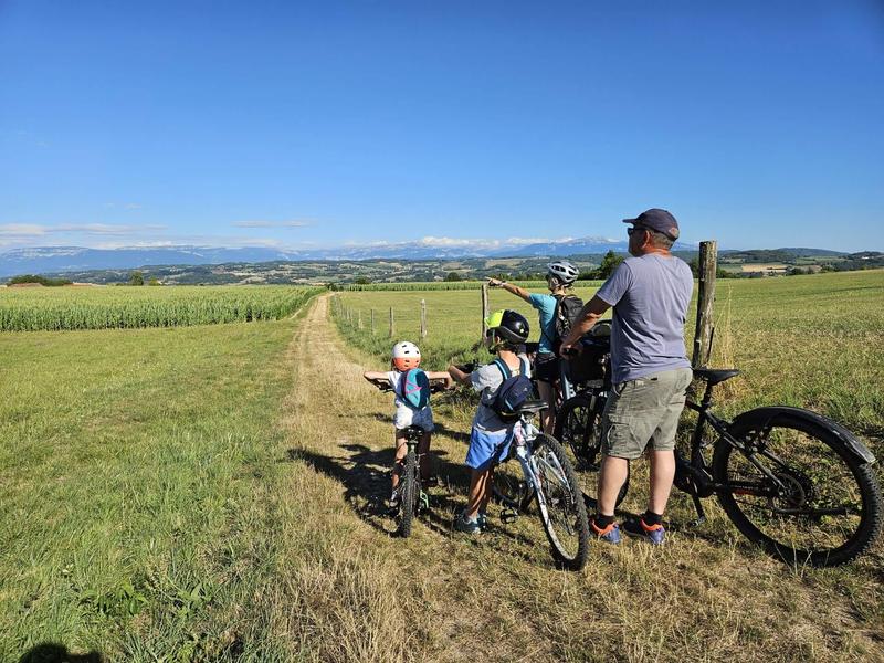
You then reach the ridges between Montagnieu and Chélieu, with beautiful views of the mountain ranges before you. At Cote 568, an orientation table shows you the panorama of the Chartreuse, the Savoyard foreland and, in the background, the Belledonne massif, Mont Blanc and the Ecrins.
Continue up to Beauregard before turning right to head back towards Montagnieu. There are plenty of woods and cow meadows along the way.
WAYMARKING AND SIGNPOSTING
From the church car park, walk to the town hall (50m), then follow the yellow signs and the following junctions:
Chemin de Feydel > Mollard des Mottes > Cote 568 > Les Hauts d'Envelump > Beauregard > (Le Feydel) > Chemin de Feydel > Return to MONTAGNIEU
Around 600m before Le Feydel, it's advisable to take the road on your right, to go straight to Chemin du Feydel and Montagnieu, and avoid a difficult stretch of track.
Marked itinerary
Distance : 7.2km
Difference in altitude : 70m
Positive difference in altitude : 70m
Negative difference in altitude : 70m
Average time : 120 Min
Openings
All year round daily.
Prices
Free access.
Equipements
- Car park
- Public WC
Average length of visit : 120 min
Mountain bike circuit - The ridges path
Parking de l'église
38110 Montagnieu