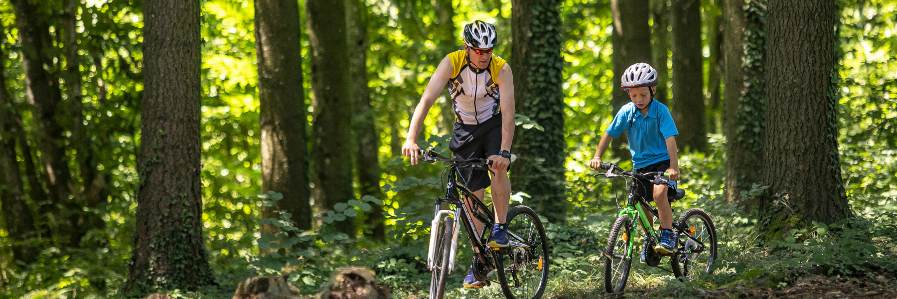
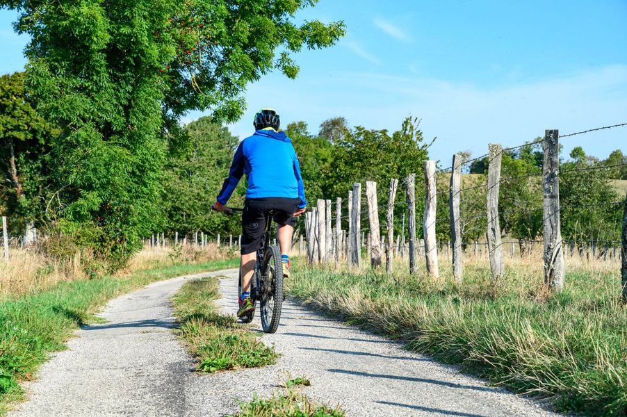
A beautiful mountain bike loop that will take you into Biol's and Belmont's woods. A host of views of the Chartreuse, Mont du Chat, Bugey and Pilat peaks await you.
ROUTE:
From the car park by the church in Biol, head out onto the marshes. Cross the Hien at the footbridge and drive through farmland to the fortified house. Continue for about 400m to La Moutonnière before taking a well-shaded path. Continue towards Belmont. On the right-hand side of the path, there is a picnic table (in the sun) where you can take your first break. When you reach Belmont, look out for the beautiful church on your left and the fortified house with its imposing 4-sided tiled roof just before the church on your right.
This is where the route gets tricky! There is one climb after another to reach the woods on the heights of Biol. But it's also as you get higher that you'll be able to enjoy panoramic views of the surrounding mountains (Vercors, Chartreuse, Monts du Chat). As you leave the forest at Le Crépon, the Monts du Lyonnais (Pilat massif) come into view. After another section on a forest track, you can return to the orientation table at the ‘Aux bois’ post.
The path towards Les Azimets climbs up and down, offering numerous views of the Bugey peaks in particular. After a succession of small roads and a fine descent, you come to the Ravoux pond. On the right, the path climbs into the woods. The path is very pleasant and strewn with broom in flower in April and May. The Vallin forest takes you along the start of its main path with its very tall trees. A shady picnic table awaits you on the right just before the ‘St-Joseph’ sign. At this crossroads, take the small path beside the gate towards Torchefelon.
At Marmonnière, we highly recommend a diversion to discover the orientation table located next to the 3 oaks village hall in Torchefelon. Picnic tables are also available near the church. After Le Bessay, a pleasant path leads down to Les Sources. After a short climb, you'll still enjoy lovely views of the mountains, before the road leads back down to Biol.
MARKING AND SIGNS :
Follow the following signs and signposts:
BIOL > Le Moulin > Moutonnière > Belmont-église > Bois Bessay > les Chasseurs > Le Crépon > les Planches > les Trois Croches > Aux Bois > les Azimets > le Rapoux > Dessus Mirieu > les Quatre Sapins > Forêt de Vallin > St-Joseph > Marmonière > le Bessay > les sources > Mont-Martin > BIOL
Marked itinerary
Distance : 28.2km
Difference in altitude : 570m
Positive difference in altitude : 570m
Negative difference in altitude : 570m
Average time : 180 Min
Openings
All year round.
Prices
Free access.
Equipements
- Car park
Average length of visit : 180 min
Mountain bike loop - The sources of the Hien
Parking
Place Jean-Baptiste
38690 Biol