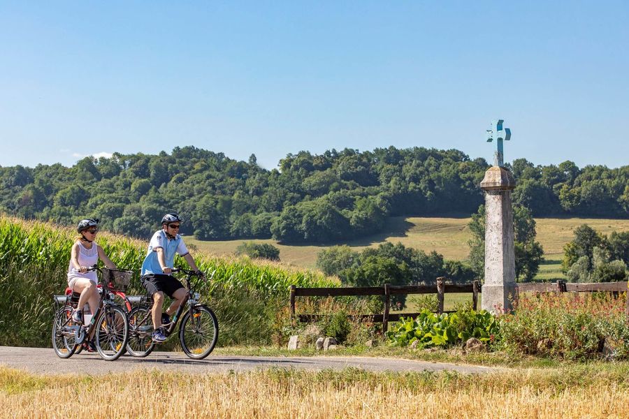
Multiple views over the Épine and Chartreuse moutains, as well as numerous religious crosses can be observed throughout this hilly path. Start and return from the tourist office of Pont-de-Beauvoisin.
Start / return (parking):
-Vals du Dauphiné's tourist office - Pont-de-Beauvoisin office.
-From Pont-de-Beauvoisin's SNCF train station - line Lyon/Chambéry (loop 41km). Bikes are permitted in the TER.
- From the parking lot of the school or the town hall of Pont-de-Beauvoisin
-From the church of Saint-Jean-d'Avelanne (37km loop)
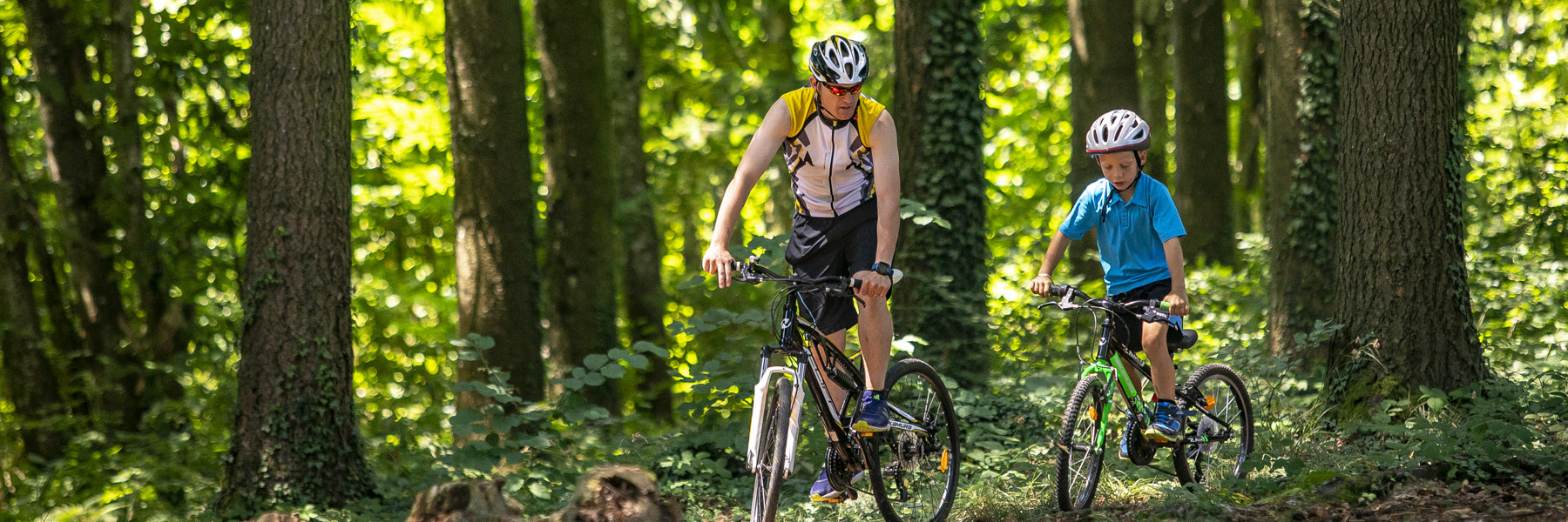
Between softness and vitality, Vals du Dauphiné's hills are an ideal playground for family walks or hikers along the river as in the forest. You will certainly enjoy the views of the Bugey, the Chat, the Epine and the nearby Chartreuse! Adobe houses, turtoiseshell tiles, castles and fortified houses ensuring the border between the ancient kingdoms of France and Piedmont Sardinia punctuate the landscape.
Spoken languages


Distance : 42.7km
Difference in altitude : 657m
Positive difference in altitude : 657m
Negative difference in altitude : 653m
Average time : 240 Min
Hiking map : Free downloading on Vals du Dauphiné tourism website or roadbook available for free at Pont-de-Beauvoisin tourist information center.
Openings
All year round.
See opening hours of Pont-de-Beauvoisin tourist information center.
Prices
Free access. Roadbook available for free at Pont de Beauvoisin tourist information center and on Vals du Dauphiné tourism website.
Average length of visit : 240 min