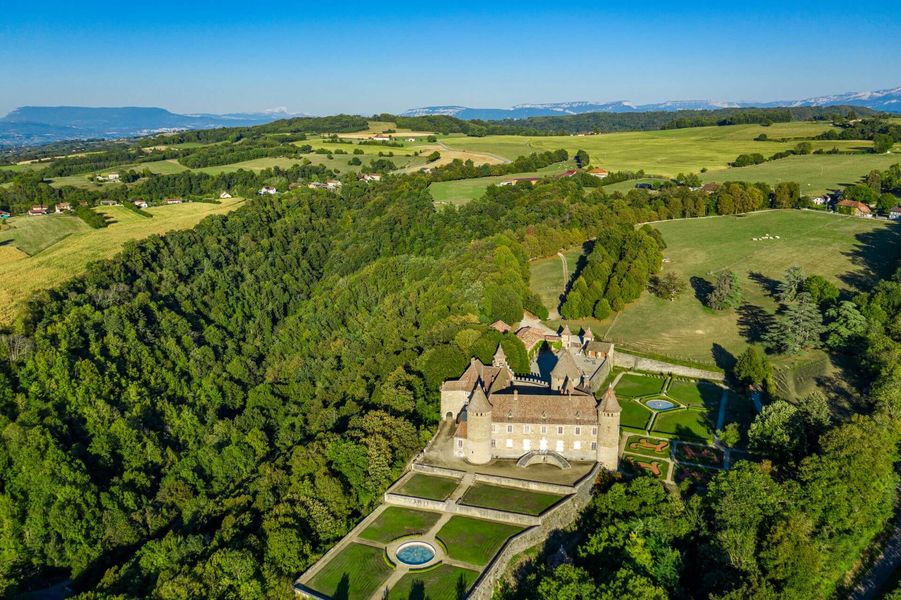
A sportive ascent to reach the medieval castle of Virieu and discover panoramas on the valley of the Haute Bourbre and the summits of the Bugey, the Chartreuse and the Avant-Pays Savoyard.
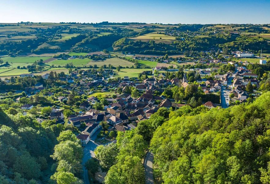
From the Virieu-Panissage railway station (Lyon / Grenoble line), follow the PR signs (yellow signs) towards the village of VIRIEU , parking near the church (another departure point - parking in front of the church).
Follow the yellow markings and the following crossroads:
> Le Trêve (tricky and dangerous climb up the paddle wheel side (roue à aubes) / go up the road on your right at La Trêve directionnal pole)
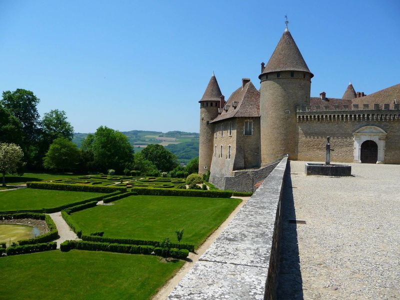
> Château de Virieu
> Les Cardelles (beginning of the dirt paths)
> Croix de l’Homnezy
> Chemin de Ripaillon
> Les Frênes
> Croix du Moine Mort (1rst path on your right)
> Mallein
> Combe Mounard
> Les Platières
> Les Tournelles
> Le Trève
> return to the car park in the village centre or to the train station.
Note: possibility of a departure from the Virieu Panissage railway station (1.5 km), i.e. a 16 km loop.
Marked itinerary
Distance : 7.6km
Difference in altitude : 242m
Positive difference in altitude : 242m
Negative difference in altitude : 242m
Average time : 120 Min
Openings
All year round.
Prices
Free access.
Equipements
- Public WC
- Car park