The ingredients for a beautiful hike : chestnut and oak forests to the south,
supplemented by plains (long variant) to the north, all punctuated by beautiful
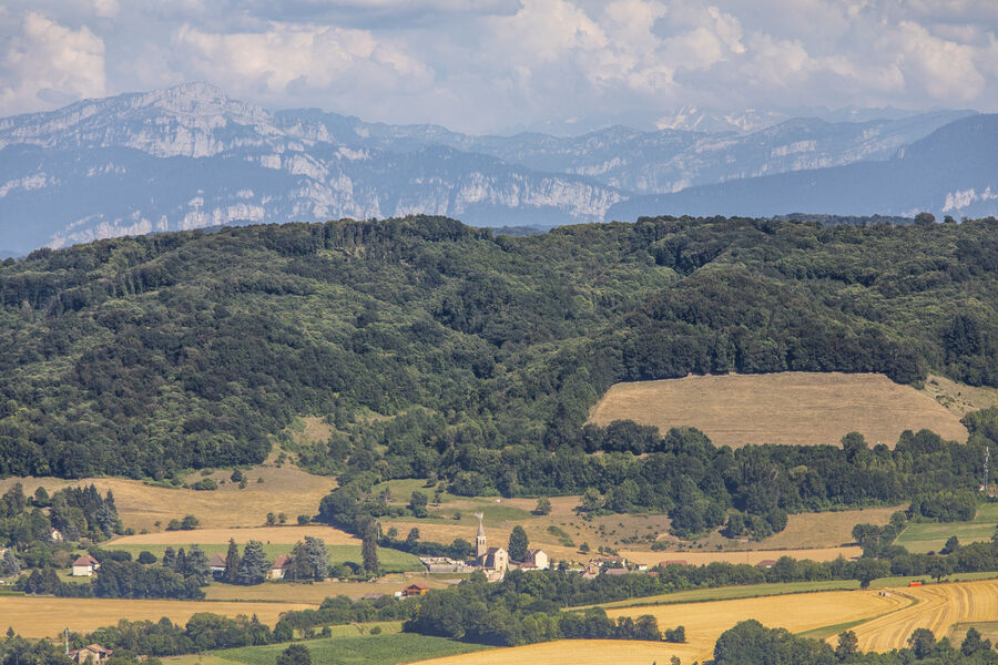
views of the Dent du Chat, Dévoluy, Mont Blanc, Chartreuse and Belledonne.
From the carpark and the directionnal pole Biol le Haut. Follow the yellow markings and the following crossroads:
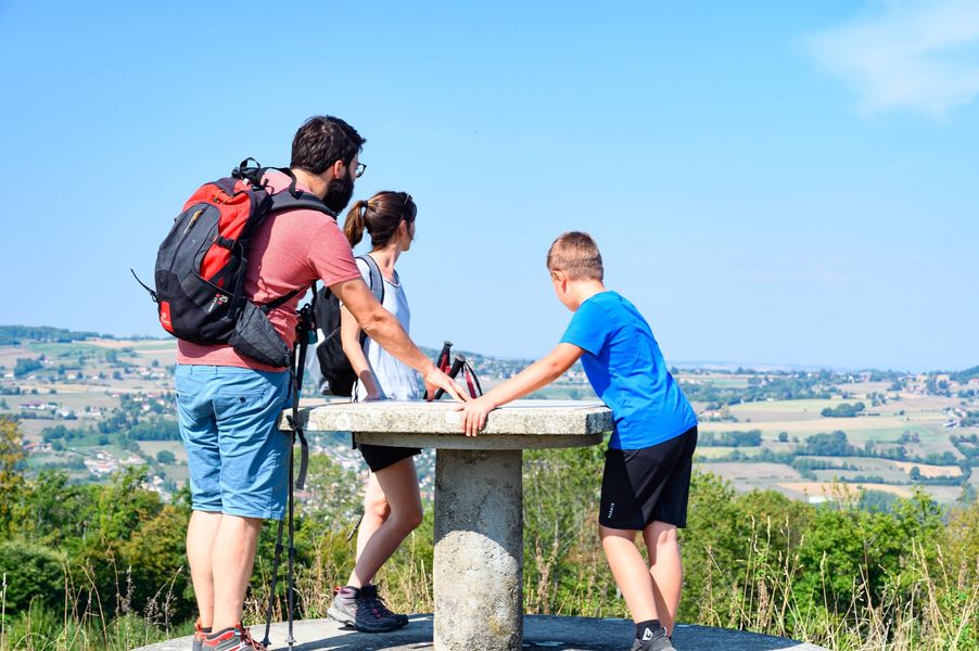
> Aux Bois ( to and from /orientation table on the path )
> Les Trois Coches
> Le Foulu
> Bois Bessay
> Les Chasseurs
> Le Crépon
> Les Planches
> Chatinet
> Le Sibuet
> Le Bouteau
> Les Azimets
> Aux Bois
> Biol le Haut - return to the car park
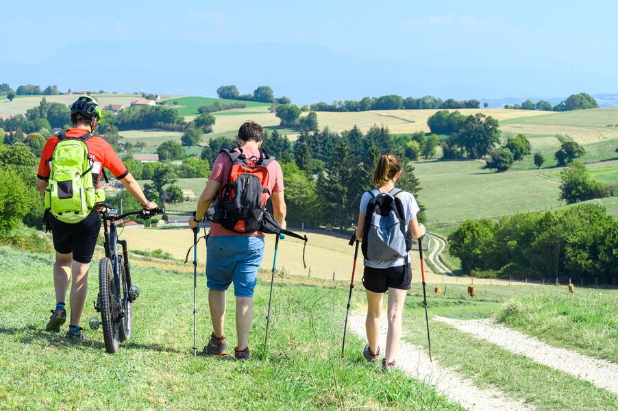
Another departure from the Chasseurs car park, accessible from the Flachères road (400m after the pannaeu at the exit of the village of ST DIDIER DE BIZONNES, take the road on the right - find your way thanks to the electric post at the bottom). Remember to shift the crossroads posts to follow (8.7 km or 15.8 km in the long version) with the help of the map and don't miss the orientation table on the way there and back.
Marked itinerary
Distance : 18km
Difference in altitude : 427m
Positive difference in altitude : 427m
Average time : 285 Min
Openings
All year round.
Prices
Free access.
Equipements
- Car park
Services
- Pets welcome
Panoramic views and king’s forest at Biol le haut - 18km
Parking
Intersection Rue du 19 mars 1962 et Chemin du Barracas
38690 Biol