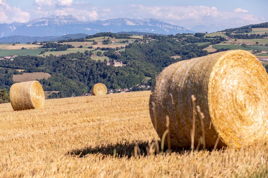
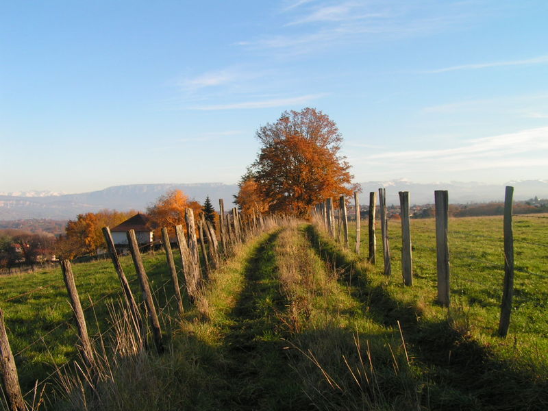
A beautiful walk with water as a common thread, offering a fairly gentle start before embarking on a beautiful descent through the Gabelles ravine and then a crescendo return through the Combe stream.
Follow the yellow markings and the following crossroads:
> Les Hauts d'Envelump
> Côte 568
> Mollard des Mottes
> Ravin des Gabelles (at the bottom of the descent, on the left)
> Lézieu
> When you reach the road, leave the marked path and turn right onto the Chemin des Sivières towards Les Pierres
> At the end, in the bend, take the climb on the right towards Tancin
> La Sauvagère
> Return to the car park in the village by Chélieu - mairie or via Les Hayes
Marked itinerary
Distance : 7.5km
Difference in altitude : 195m
Positive difference in altitude : 195m
Average time : 120 Min
Openings
All year round.
Prices
Free access.
Equipements
- Car park
Services
- Pets welcome

