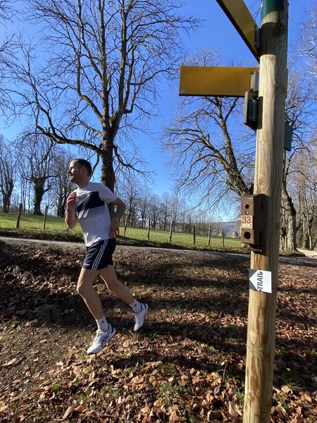
Run through Vals du Dauphiné's countryside, witnessing various panoramas, between forests and casltes views. Follow the specific signs and be prepared for two very steep sections.
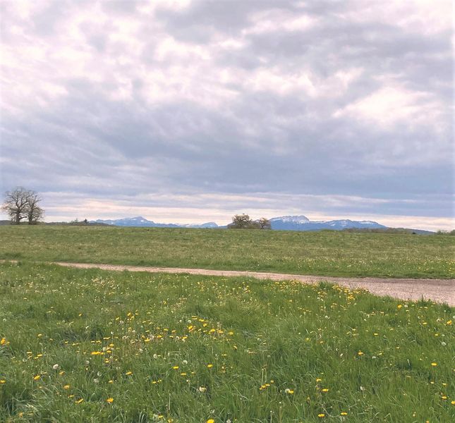
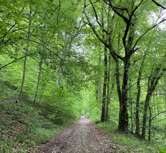
The route begins with a 2 kilometer climb to the Château de Virieu (Virieu's caslte). A small section of the path will then lead you to the plateau for a breathtaking view : panoramic views on the Chartreuse, Belledonne and the Vercors. From kilometer 5, you enter in a forest on beautiful rolling tracks that will lead you to the Château de Pupetières (Pupetières's castle). It is around the 11th kilometer that the challenge comes back with a climb that will also take your breath away! The return to the starting point will be by road on a steep slope.
A variant of 8 kilometers (but with 270 meters of positive altitude difference) is possible by cutting through the road leading to the hunters' relay. (dotted line on the map)
Marked itinerary
Distance : 14.7km
Difference in altitude : 520m
Positive difference in altitude : 520m
Openings
All year round.
Prices
Free access. Free dowloading on Vals du Dauphiné tourism website.