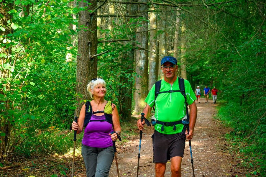
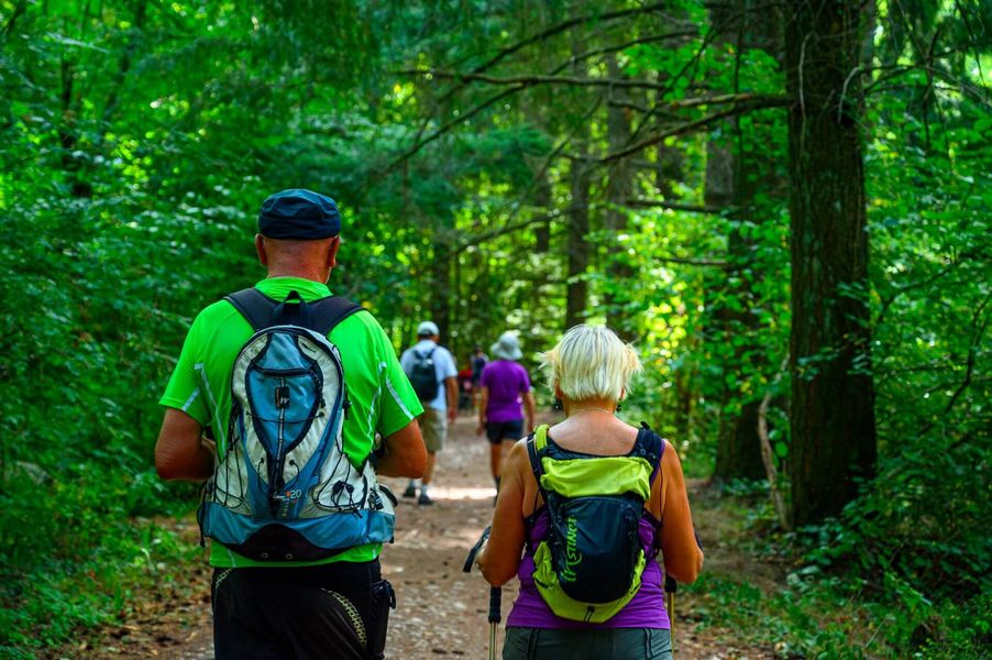
This hike will take you exploring the Vallin forest, a mystical place where you'll find the Rompu and Ravoux ponds and others, as well as a limestone stream and a ferruginous one. The hike ends with a beautiful panoramic view.
From the church car park, head towards La Taillat. At the signpost, take the grassy path towards Les Quatre Sapins to reach the crossroads in Saint-Joseph. The route then takes you on a lovely loop through the Vallin forest, passing by the Vallin ponds. The loop takes you back to Saint-Joseph. From there, go back to the sign for Les Quatre Sapins, then head towards Dessus Mirieu, going past Ravoux pond before following the path upstream along the Gadizieu stream. Continue through Dessus Mirieu and join the D520 road at the sign for "Le Rapoux". Keep left and walk along the road (be careful) for 50m. On your left, take the Chemin de Brumière as far as the "Le Bessay" sign. Keep going until you reach the sign for "Croix des Poulets", then follow the road back to Torchefelon.
Marked itinerary
Distance : 13.9km
Difference in altitude : 265m
Positive difference in altitude : 265m
Average time : 240 Min
Openings
All year round.
Subject to favorable weather.
Prices
Free access.
Equipements
- Car park
Around Torchefelon
Parking
21 route du village (face à la mairie)
38690 Torchefelon